 The Navajo Nation is a rural desert reservation with numerous chapters, cluster communities and isolated rural households across 27,413 square miles (the size of West Virginia). 15,000 of 18,000 miles of reservation roads are unpaved dirt roads highly susceptible to damage from heavy snows, floods, and washouts that make the roads challenging if not useless for travel. The terrain is high deserts with sparse vegetation, elevation 4,000 – 12,000 feet with higher elevations heavily forested with Ponderosa pine and weathering drought, heavy rainfall and abundant snowfall. People frequently go missing especially in dead zones, and they include elderlies with dementia, vehicle breakdowns or accidents, individuals hunting or simply searching for help, crime victims, and most frequently, children. In non-COVID times, school buses drop children off at paved road dead ends from where even small children begin walks alone towards home often in darkness. With tribal police and fire departments extremely small and HQed at only 7 major Agency and New Lands hubs, the Navajo Nation has no choice but to rely on community-based search and rescue (CERT) volunteers to find missing persons. The Tribe provides one-man emergency management office to help local CERTs organize, and the result of such limitations has been very few organized search and rescue teams. On their own, communities respond swiftly to news of missing individuals, recently mustering family-based teams using pick ups and horses to find a child in the rural desert Newcomb community through days and nights, ultimately finding the child safe after 5 days. Shiprock Search and Rescue (SSR) is the only fully organized search and rescue CERT in the Northern Agency, roughly 1/6 of the Navajo Nation mainly in NM but also serving portions of AZ and UT. Founded and operated by ex county and Navajo fire personnel, SSR relies on organizational support and fundraising through a community leadership-based fiscal sponsor (Indian Country Grassroots Support). SSR is the “helm” team for less organized community emergency response teams (CERTs) and performs command, messaging, staging, logistics and vehicle support, and training for all volunteers spread out across the Northern Agency of the Navajo Nation.
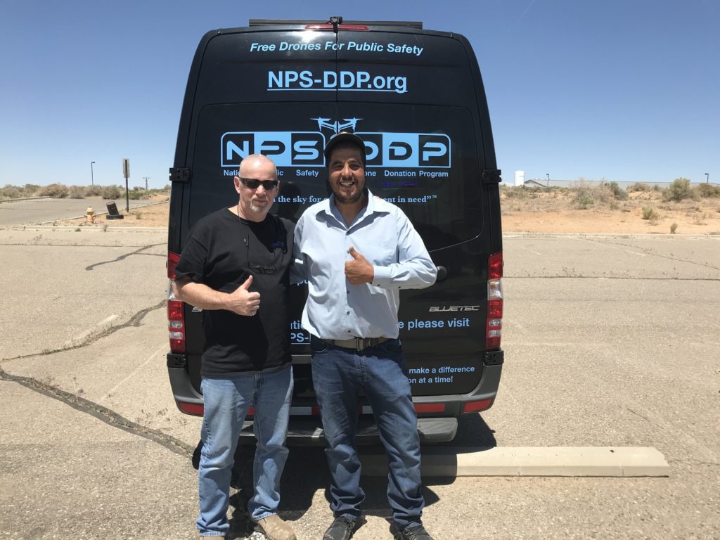
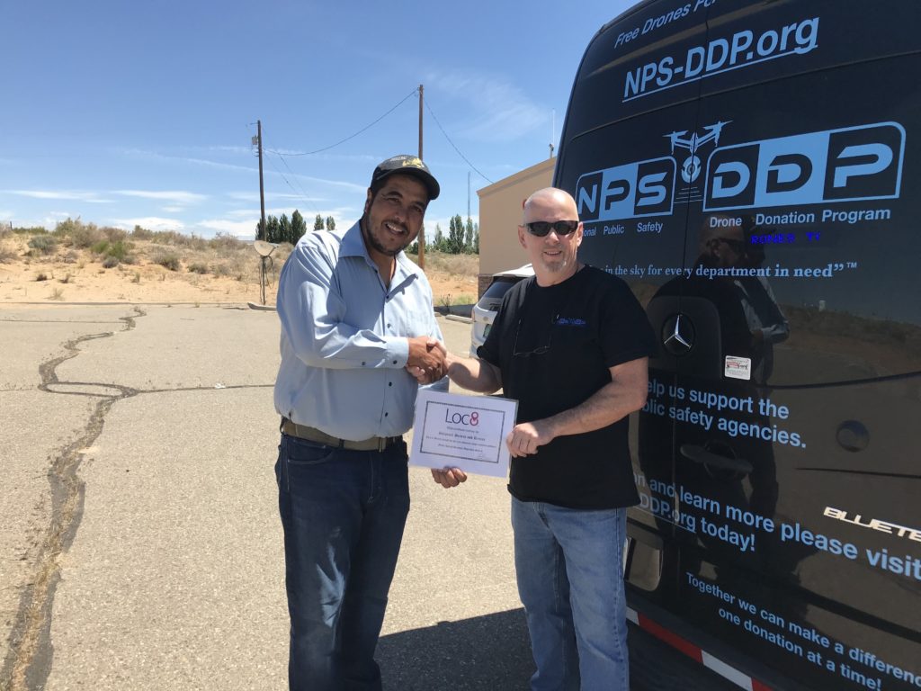
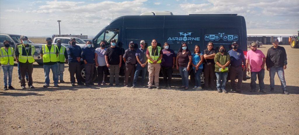
Amazing volunteers donating their time and energy to help others. Please Donate to NPS-DDP.org today!
https://www.kob.com/new-mexico-news/drone-helps-with-search-and-rescue-operations/6130539/